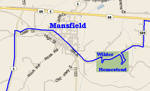
The
map at right is linked to an Aerial Photo of Green area.
|
 |
|
The
map at right is linked to an Aerial Photo of Green area.
|
|
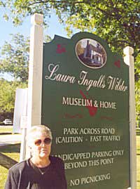
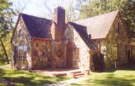
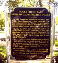
All photos below have links to more detail - Signs tell the story - View their Web Page
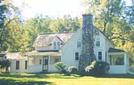
Main House |
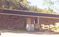
MUSEUM |
Rock House |
|
Wilder, as viewed by Letha and Vern Bouwman on September 23, 2002. After they toured the house, Vern was tired and asked to go out on porch. 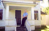 |
 |
Tour Guides call for the next tour where they will enter the kitchen, the 1st part of the house built and continue through the main floor. After the main
house tour guests drive a short distance to
|